Deep Dive Into HERE Data Layers - Part 2

At HERE, we want to enable our users to have control over their map data. To support this, HERE released Data Layers for you to easily visualize and download mapping data for over 60 locations around the world. Let's explore Data layers and take a peek at the data that powers many of our services.
HERE Map Data Layers, as the name suggests, contains multiple layers and each layer contains different types of mapping data. In the first part of this two-part series, you can find information about hydrography, destination signs, buildings and more. In this blog post, we’ll cover the following layers:
- Land Use
- Navigable Roads
- Places
- Traffic Restrictions
- Traffic Signs
Land use
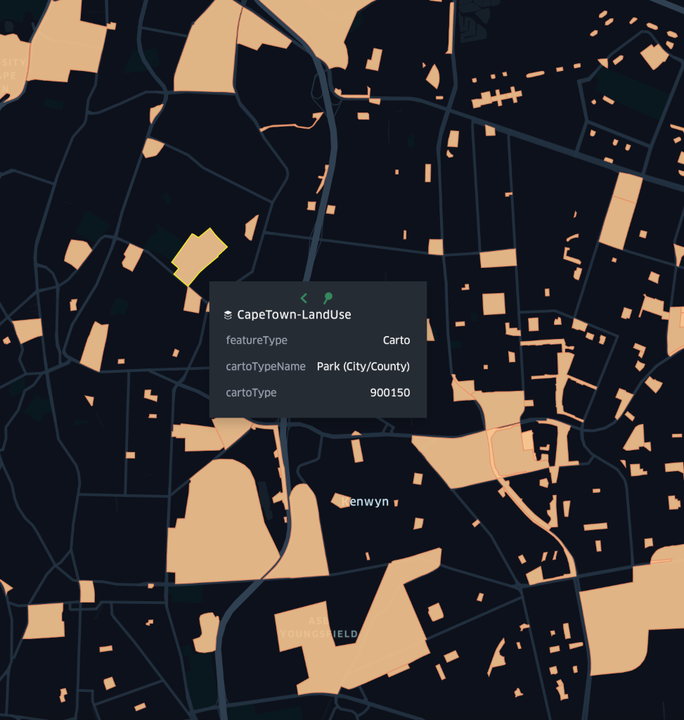
The Land Use Map Data Layer contains cartographic content related to the functional usage of the land; it classifies areas of land for use by people. This can include anything from parks, shopping centers, and even airports. Land use data can be used for displaying the map at high zoom levels and to show the spatial extent of places. The geometry of land use is mostly represented as polygons but there may be some instances of polylines for special land uses as well.
Navigable roads
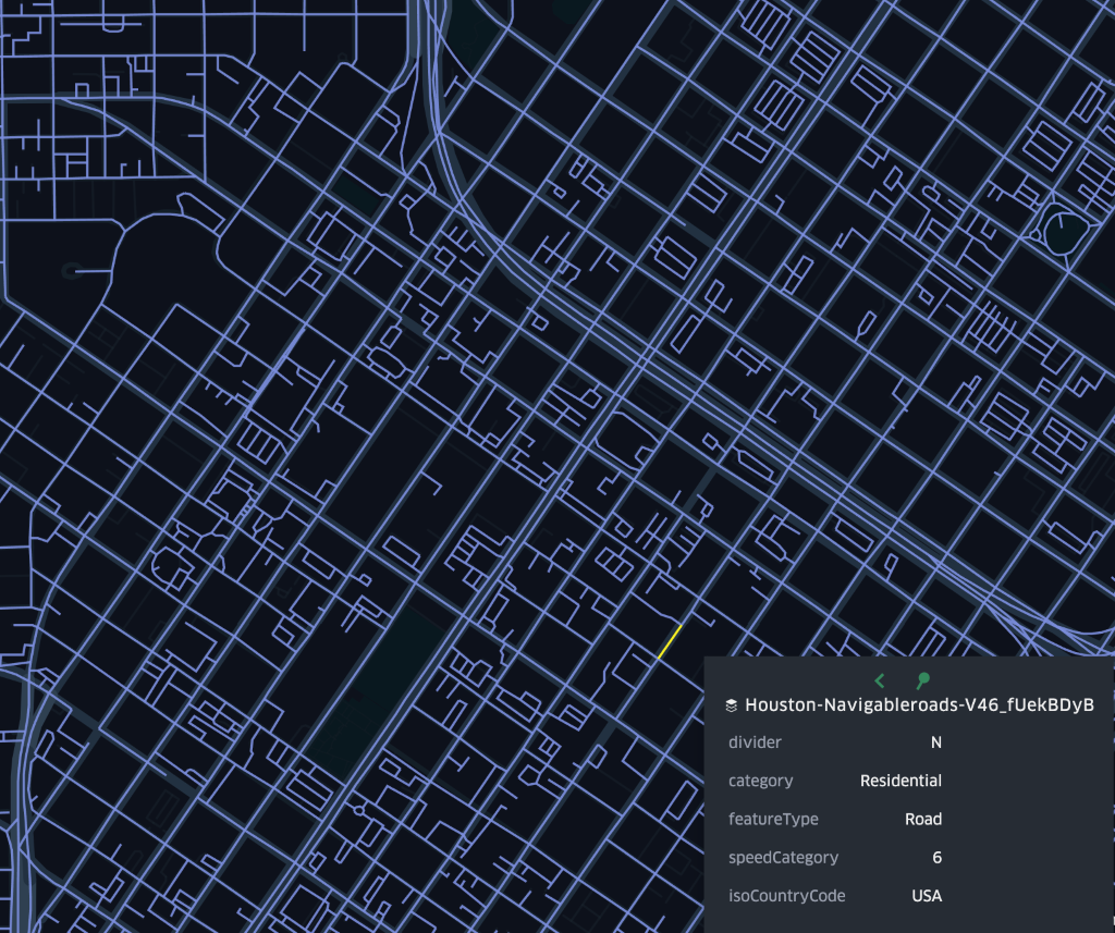
The navigable roads layer contains cartographic content related to roads and their attributes such as the name of the road, functional class, characteristics of it like whether it is paved, public or private, and even speed limit information. You can use this layer to render road networks, complete your map data, track fleet positioning against roads, and more.
Places
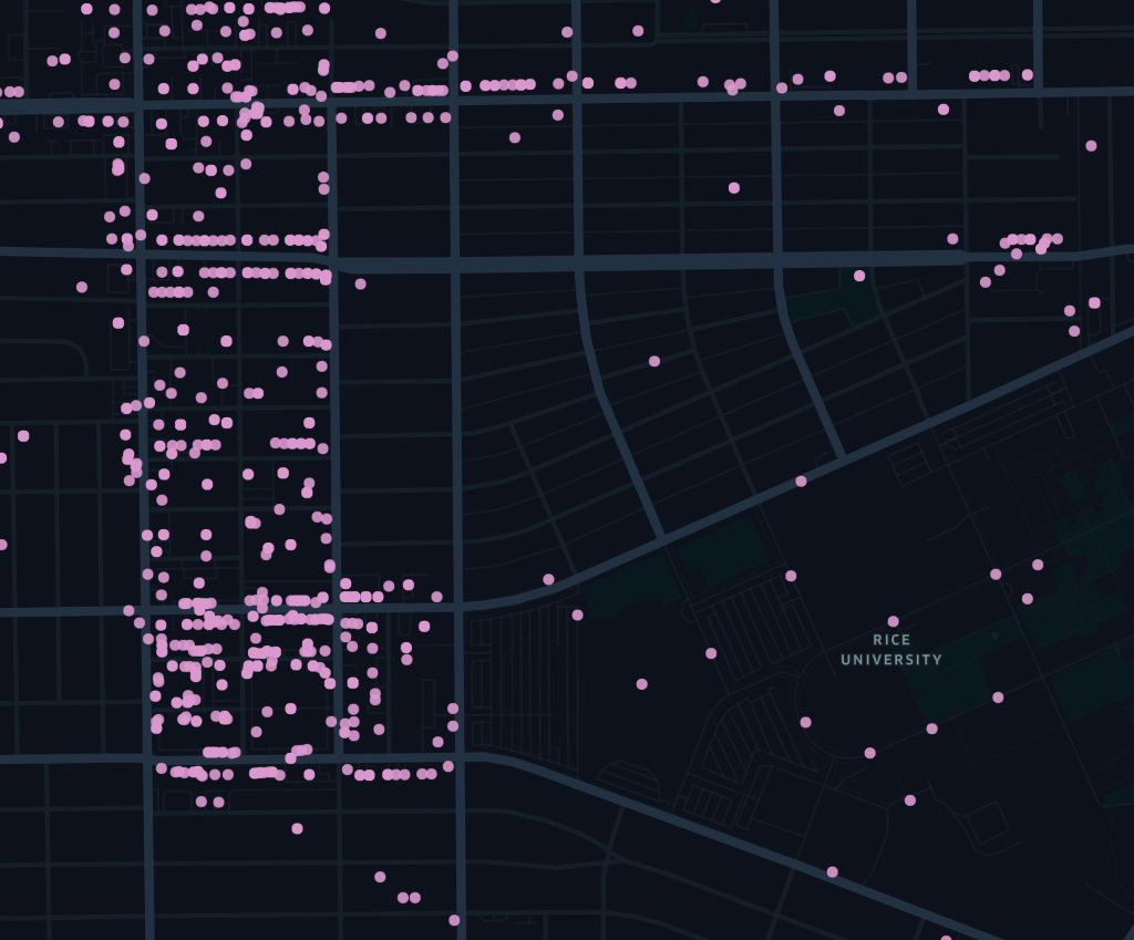
The places layer represents business entities and attributes about them. For example, you can find places like restaurants, banks, and hotels and you can find attributes like their hours of operation, phone number, website, and more. You can use this layer to enrich your map and display a complete list of places, or to add more attributes such as opening hours to your existing points of interests.
Traffic restrictions
The traffic restrictions layer contains multi-link conditions that show restrictions for specific types of vehicles at certain times. This layer can be used alongside with the navigable roads layer to help with navigation.
Here’s what data from traffic restrictions can look like:
    {

      "id": "16885880",

      "type": "Feature",

      "properties": {

        "ordered": true,

        "category": "RoadRelation",

        "endOfLink": "WHOLE_LINK",

        "references": [

          {

            "ids": [

              "17927697",

              "17927696"

            ],

            "layerId": "navigable-roads"

          }

        ],

        "featureType": "Relation",

        "isoCountryCode": "USA",

        "@ns:com:here:xyz": {

          "tags": [],

          "space": "ds0kZq6e",

          "createdAt": 1600704135681,

          "updatedAt": 1600704135681

        },

        "conditionalAttribute": {

          "rdmType": "LOGICAL",

          "constraints": [

            {

              "timeConstant": "NOT_APPLICABLE",

              "vehicleTypes": {

                "bus": true,

                "auto": true,

                "taxi": true,

                "truck": true,

                "carpool": true,

                "delivery": true,

                "motorcycle": true,

                "throughTraffic": true,

                "emergencyVehicle": true

              }

            }

          ],

          "attributeType": "RESTRICTED_DRIVING_MANOEUVRE"

        },

        "@ns:com:here:mom:meta": {

          "layerId": "traffic-restrictions",

          "sourceId": "here-product-primitives-road-network-geojson-ext-v1",

          "modelVersion": "1.0.0",

          "catalogVersion": 42

        }

      },

      "geometry": {

        "type": "MultiLineString",

        "coordinates": [

          [

            [

              -95.37179,

              29.75528,

              0

            ],

            [

              -95.37128,

              29.75532,

              0

            ]

          ],

          [

            [

              -95.37154,

              29.75501,

              0

            ],

            [

              -95.37179,

              29.75528,

              0

            ]

          ]

        ]

      }

    }
Traffic signs
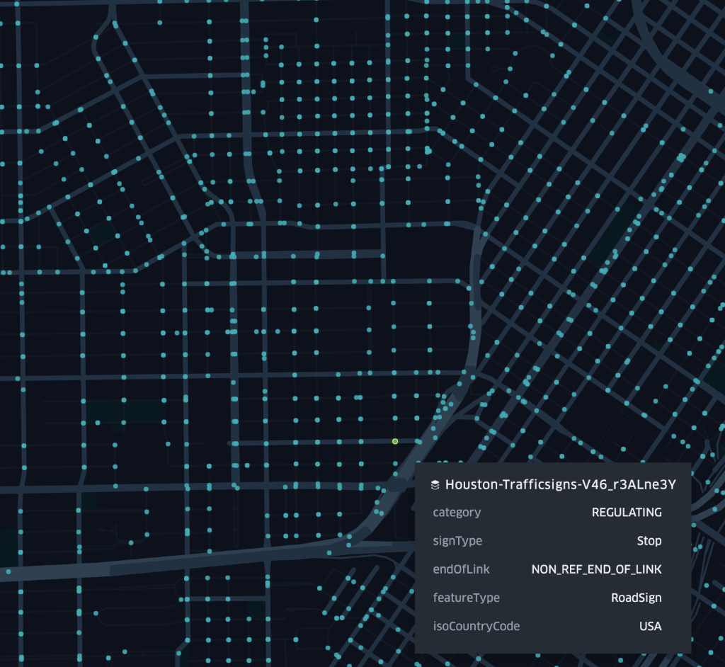
The traffic signs layer contains data about signs alongside the road that give instructions to drivers, cyclists, and pedestrians. In this layer, you can find road signs such as stop signs, curves, winding roads, and more. These signs are represented with latitude and longitude coordinates and they come in three different categories that you can choose to display: regulatory, warning, and informing.
You can access these layers for 60+ locations under the freemium plan. Jump into the documentation to have a quick walk-through for downloading and visualizing the layers and as always feel free to reach out on Twitter @heredev to share your work with us!

Have your say
Sign up for our newsletter
Why sign up:
- Latest offers and discounts
- Tailored content delivered weekly
- Exclusive events
- One click to unsubscribe